As natural disasters increase in frequency, the ability to predict and prepare for them grows ever more important.
Enter Dan Czirjak, a specialist in remote sensing for disaster management, who is teaching a new generation of Northeastern graduate students in the Geographic Information Technology (GIT) program to use highly specialized technology to anticipate and mitigate disasters’ effects.
Czirjak began studying remote sensing as an environmental science major at the United States Military Academy, known as West Point. He honed his skills in the U.S. Army’s geospatial-intelligence officer’s course, which he took while on active duty and soon began teaching to others.
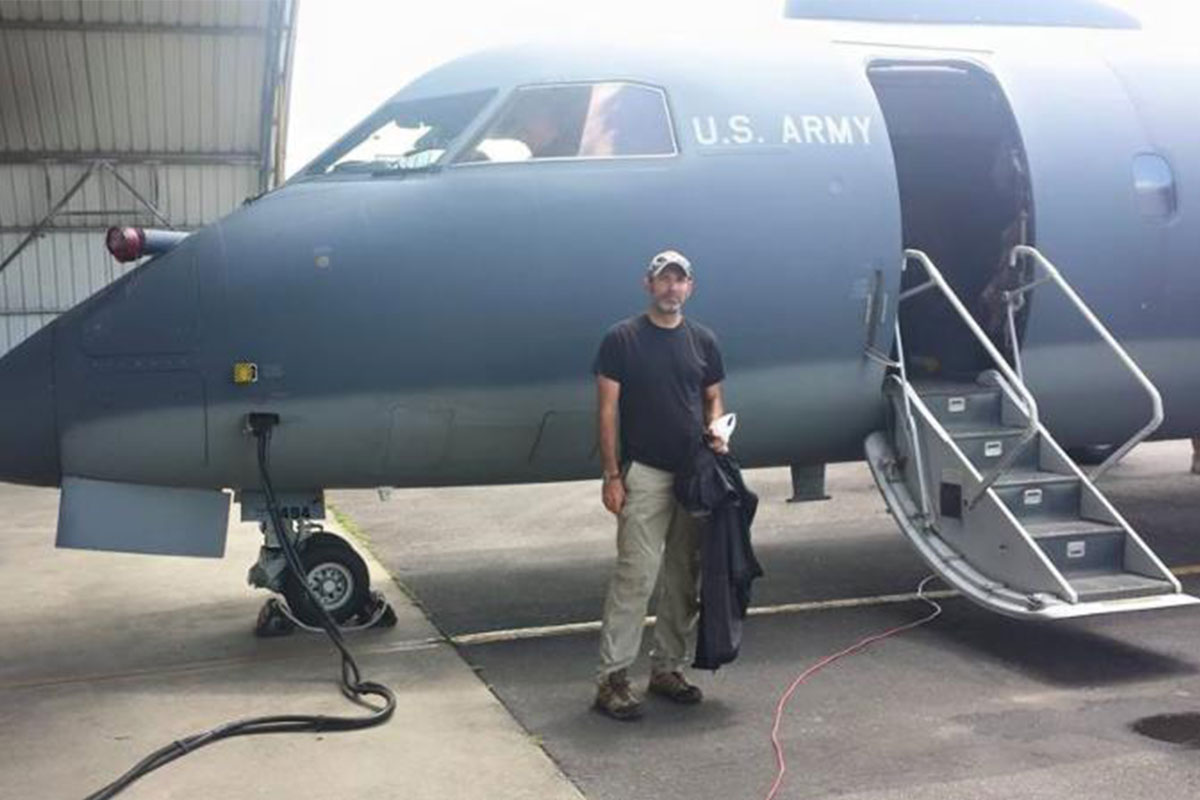
Czirjak applied these skills in the Army from 1999 to 2006, where he spent most of his time as an intelligence officer for combat units, serving with NATO forces in Kosovo; in Qatar during the first U.S. war in Iraq in 2002-2003; and finally in Baghdad, in 2005-6 with the 3rd Brigade, 1st Armored Division.
Teaching the Science Behind the Buttons
In the GIT program, he teaches two classes: Remote Sensing for Disaster Management and Spectroscopic Image Analysis. Czirjak begins his classes discussing the scientific underpinnings of remote sensing. He then moves into the data acquisition and computer programming necessary to perform this work, and then the math underlying the programming. Finally, the class addresses real-life applications of this work, learning, for example, how to identify the burn scar from a forest fire from the satellite images on their screens.
“Pressing buttons is easy, but understanding the science behind it can be hard,” he says. “I make sure that students walk out knowing why they pushed the button they pushed or chose the algorithm they chose.”
Czirjak adds that it’s fun to talk about “nerdy subjects” with students who are universally interested in them. Class members have ranged from the head of disaster management for The Bahamas to a pilot who had flown remote-sensing expeditions, but wanted to learn how to conduct the image analysis. Most are now seeking to advance their careers or move from one area of geographic information system specialization to another.
Czirjak’s specialization within the remote-sensing field is hyperspectral imagery—using airborne and spacecraft-generated images to identify features on the ground based not on what they look like but on how they reflect light.
“Humans see a small range of light wavelength, but sensors can see a much broader range,” he says. “If you can tell whether people’s rooftops are asphalt, wood, or shingled, you can determine the fire risk for an entire neighborhood.”
Harnessing the Power of Information
Working in the remote sensing field full-time since 2006, Czirjak now deploys his expertise, once used to pinpoint threats to U.S. security, to predicting, preventing, and responding to natural disasters.
He primarily uses freely available satellite data from the U.S. Geological Survey. How can this technology be put to use in disasters? Finding groups of people displaced by crises is one way. After Haiti’s 2010 earthquake, Czirjak explains, images from space revealed not only stretches of blue fabric but identified them as polyethylene tarps. “You could see that it was probably a makeshift refugee camp,” he says.
“There is so much power in this information,” he adds, “and using it for disaster management gives me the opportunity to benefit people.”
An ideal use of this type of data, Czirjak says, is to predict the areas that are likely to be inundated in a storm and to calculate who should be evacuated—a subject he is studying as a PhD student at George Mason University.
Now, Czirjak is exploring the use of remote sensing for humanitarian relief, using hyperspectral images to estimate a region’s solar energy production and potential. The goal is to help developing nations—and those providing aid within them—to understand how much power is available and how much they need.
“Let’s say you’re working for an aid agency,” he says. “If you know the solar-power-generation capacity where you’re going, you know what energy you need to bring with you.”
His online course can be taught not only to students all over the world but from anywhere in the world. Since joining Northeastern in 2012, Czirjak has taught it from the comfort of his home in Charlottesville, Virginia, as well as from Afghanistan and Colombia while working for the Army.
The potential uses of remote sensing are limited only by the number of people trained in its use, Czirjak says. “The more people we have, the more we can figure out how to use it.”


Related Articles
How You Can Use Geographic Information Technology
5 Reasons to Study International Relations and Diplomacy
Master’s Lands Alum Role with the Dept. of Homeland Security